


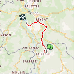


14.8 km | 19 km-effort


User


FREE GPS app for hiking
 SityTrail
IGN / Geographical institutes
SityTrail World
The world is yours!
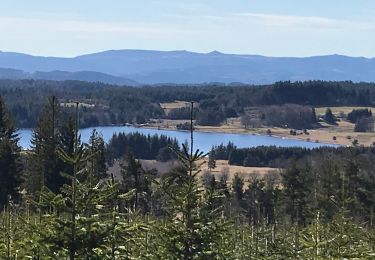
Trail Walking of 6.3 km to be discovered at Auvergne-Rhône-Alpes, Haute-Loire, Le Chambon-sur-Lignon. This trail is proposed by randodan.
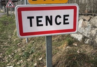
Tence, 23 juin 2017<br>
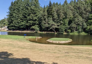
- Le Creux du Loup, de La Celle au VVF -<br>
<small>(suite de la fiche "Creux du Loup" du VVF)</small><br>
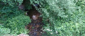
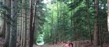
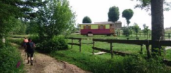
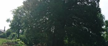
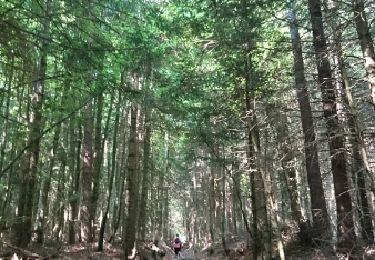
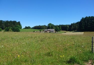
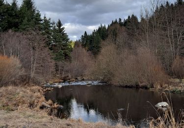
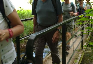
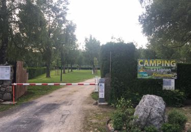
8h45, départ de La Celle, on attaque la suite du circuit abandonné avant-hier . Petite erreur au départ, on était parti vers un grand bâtiment clos (forestier ?) . Le Ruisseau de Meynier, un malheureux ru qui sera bientôt à sec . De l'autre côté du ruisseau, le chemin remonte doucement et agréablement . Passons devant le fameux "Creux du Loup", le gîte-roulotte.<br>
10h, Josette et Caro décident de continuer sur Tence, moi, je rentre . 10h20 au VVF.<br>
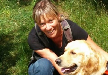
3 participants (Jo,Ca,Da).


Walking
Walking
Walking
Walking
Walking
Walking
Walking
Walking
Walking